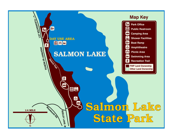
Salmon Lake State Park Map
near Salmon Lake State Park, MT, USA
View Location
Immediately adjacent to Montana 83, this park is an access point to one of the beautiful lakes in the Clearwater River chain of lakes. Plan to fish, picnic, launch your boat, water-ski, read, review interpretive signs, or let your children get the wiggles out after a long drive in this woodland setting of western larch, ponderosa pine and Douglas-fir.
See more
 See more
Nearby Maps

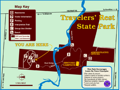
Travelers' Rest State Park Map
The Lewis and Clark expedition camped here twice during their historic journey to locate the...
27 miles away
Near Highway 12, MT, USA

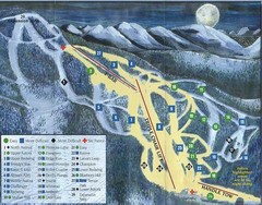
Marshall Mountain Ski Trail Map
Trail map from Marshall Mountain.
27 miles away
Near 5250 Marshall Canyon Rd, Missoula, MT

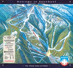
Montana Snowbowl Ski Trail Map
Trail map from Montana Snowbowl.
29 miles away
Near Evaro, Montana, United States

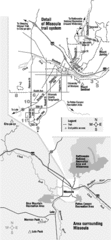
Missoula Trail System Map
Basic Map of Hike/Bike/Run Trail system for Missoula MT
32 miles away
Near Missoula, MT

Missoula Bike Trails Map
Road and Mt. Bike trails with a bit of topology near Missoua
32 miles away
Near Missoula, MT

Missoula, Montana City Map
32 miles away
Near Missoula, MOntana

 click for
 Fullsize


0 Comments
New comments have been temporarily disabled.