Edit this map

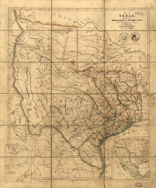
Republic of Texas Map 1841

near Texas

View LocationView Map

31.169036 -100.076888 5 satellite
Nearest Map »  Fullsize
1500 × 1812606 KBJPG

A map of Texas compiled from surveys recorded in the Land Office of Texas. The map shows the territory of Texas when it was still a nation in 1841.

Created 1841 by John Arrowsmith
From sonofthesouth.net

nicky added
Jun 9, 2008

Rating
rated 2 by 2 people

See an error? Report it.

Keywords

history, texas, 1800s, republic

0 Comments

New comments have been temporarily disabled.
See more

Nearby Maps

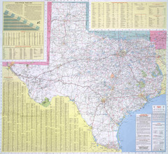
Texas Road Map

Texas Road Map

Official Texas DOT highway map. A bit blurry.

0 miles away

rated 2 by 1 person
Near Texas
Keywords: reference, road
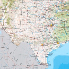
Texas Physical Map

Texas Physical Map

Physical map of state of Texas with shaded relief

0 miles away

rated 3 by 1 person
Near Texas
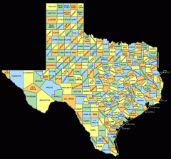
Texas County map

Texas County map

Map shows names of all counties in Texas

less than 1 mile away

Near Texas
Texas National Forests & Grasslands Map

Texas National Forests & Grasslands Map

US Forest Service Pocket Guide to National Forests and Grasslands in Texas. National Forests...

26 miles away

rated 1 by 1 person
Near Paint Rock, Texas
Fort Richardson, Texas State Park Facility and...

Fort Richardson, Texas State Park Facility and...

27 miles away

Near Fort Richardson, Texas
Keywords: recreation
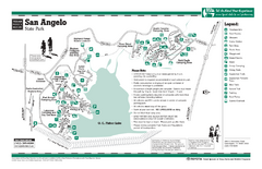
San Angelo, Texas State Park Facility and Trail...

San Angelo, Texas State Park Facility and Trail...

34 miles away

Near San Angelo, Texas
See more