Reed Island State Park Map
near Reed Island State Park, WA
See more
 See more
Nearby Maps

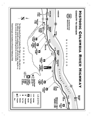
Historic Columbia River Highway Map
Official map from the US Forest Service. Shows the Corbett to Dodson stretch of Highway 30 with...
10 miles away
Near Columbia River Gorge

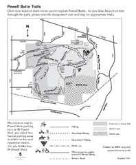
Powell Butte Nature Park Trail Map
Trail map of Powell Butte Nature Park. Shows over 9 miles of trails
11 miles away
Near 16160 SE Powell Blvd, Portland, Oregon

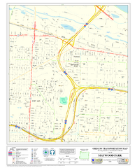
Maywood Park Oregon Road Map
12 miles away
Near Maywood Park Oregon

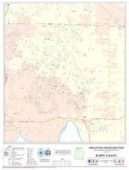
Happy Valley Oregon Road Map
13 miles away
Near Happy Valley, Or

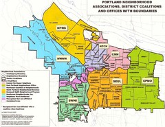
Portland Neighborhood Map
Shows neighborhood associations of Portland, Oregon.
18 miles away
Near Portland, Oregon

 click for
 Fullsize


0 Comments
New comments have been temporarily disabled.