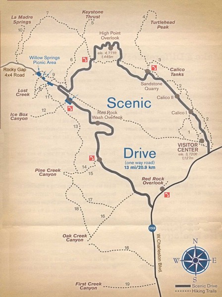
Red Rock Canyon Trail Map
near Red Rock Canyon National Conservation Area, Las Vegas, NV
See more

 See more
Nearby Maps

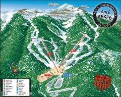
Las Vegas Ski & Snowboard Resort Ski Trail Map
Official ski trail map of Las Vegas Ski & Snowboard Resort (LVSSR) from the 2007-2008 season.
15 miles away

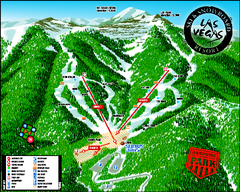
Las Vegas Ski & Snowboard Resort Ski Trail Map
Trail map from Las Vegas Ski & Snowboard Resort, which provides downhill skiing.
16 miles away
Near Mount Charleston, Nevada, United States

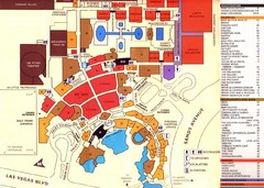
Las Vegas Tourist Map
16 miles away
Near Las Vegas

Community College of Southern Nevada Map
Campus Area map of the Community College of Southern Nevada. The college is located on three main...
16 miles away
Near Las Vegas, Nevada

Las Vegas, South Strip Area Map
17 miles away
Near Las Vegas, Nv.

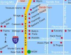
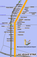
The LV Strip Map
This is a map of the Las Vegas Strip with the names of the hotels located around it.
17 miles away
Near Las Vegas strip

 click for
 Fullsize


0 Comments
New comments have been temporarily disabled.