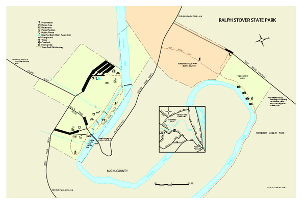
Ralph Stover State Park map
near Upper Black Eddy, PA 18972-9540
See more
 See more
Nearby Maps

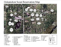
Camp Okanickon Scout Reservation Map
Location Map for Boy Scout Camp in Pennsylvania
less than 1 mile away
Near Camp Okanickon, Pipersville, PA, US

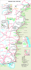
Delaware Canal State Park map
Detailed map of Delaware Canal State Park in Pennsylvania. Long dimension.
6 miles away
Near Upper Black Eddy, PA 18972-9540

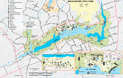
Nockamixon State Park Map
Detailed recreation map for Nockamixon State Park in Pennsylvania.
7 miles away
Near Quakertown, PA 18951-5732

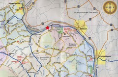
Upper Bucks County, Pennsylvania Tourist Map
Cities within the Upper Bucks County in Pennsylvania
11 miles away
Near Upper Bucks County, PA

Tyler State Park map
Detailed recreation map for Tyler State Park in Pennsylvania
16 miles away
Near Newtown, PA 18940-1151

Montgomery County Tree Cover Map
Poster map of tree cover of Montgomery County, Pennsylvania
20 miles away
Near Montgomery County, Pennsylvania

 click for
 Fullsize


0 Comments
New comments have been temporarily disabled.