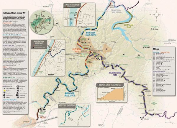
Rail Trails of North Central West Virginia Map
near Morgantown, West Virginia
View Location
Trail map of rail-trails of north-central West Virginia. Shows the Mon River Trail, Caperton Trail, Deckers Creek Trail, Cheat Lake Trail, and West Fork River Trail.
See more

 See more
Nearby Maps

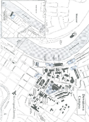
West Virginia University Map
Campus Map of West Virginia University. All buildings shown.
less than 1 mile away
Near Morgantown, West Virginia

West Virginia University Campus Map
less than 1 mile away
Near West Virginia University, Morgantown, West...

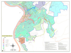
West Virginia Zoning STATE ROADS Map
Map of the zoning boundaries and state roads in West Virginia.
1 mile away
Near Morgantown, West Virgnia, USA

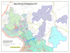
City of Morgantown, West Virginia Zoning Map
Zoning Map of the city of Morgantown, West Virginia. Includes all streets and color-coded zoning...
1 mile away
Near Morgantown, West Virgnia, USA

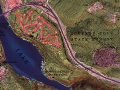
Coopers Rock State Forest Topo Map
Map shows parks and elevations
8 miles away
Near Coopers Rock State Forest

Southern West Virginia Tourist Map
Cities in the southern part of West Virginia.
22 miles away
Near West Virginia

 click for
 Fullsize


0 Comments
New comments have been temporarily disabled.