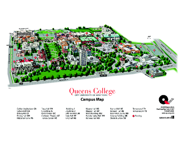
Queens College Campus Map
near Flushing, New York
See more
 See more
Nearby Maps

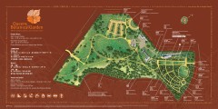
Queens Botanical Garden Map
Shows facilities and names of different gardens. In many languages.
less than 1 mile away
Near 43-50 Main Street, Flushing, NY 11355

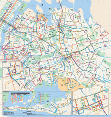
Queens, New York Bus Map
Official MTA Bus Map of Queens, NY. Shows all routes.
2 miles away
Near Queens, New York

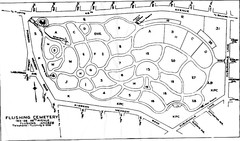
Flushing Cemetery Map
Map of the sections of Flushing Cemetery in Queens
2 miles away
Near 163-06 46th avenue, Flushing, NY 11358

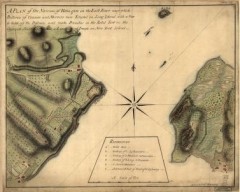
Oyster Bay and Huntington, Huntington Bay Map
A plan of the Narrows of Hells-gate in the East River, near which batteries of cannon and mortars...
3 miles away

NYC Biking Route Map (Manhattan & Queens)
Official NYC biking map of Manhattan and Queens.
3 miles away
Near NYC

Forest Park Preserve Map
Map of Forest Park Preserve, Queens County, City of New York. 538 acres of trees and fields
4 miles away
Near 101 Forest Park Drive, Queens, NY

 click for
 Fullsize


0 Comments
New comments have been temporarily disabled.