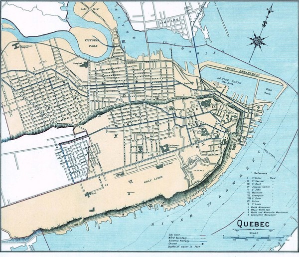
Quebec City Map
near Quebec, Canada
See more
 See more
Nearby Maps

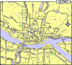
Quebec Tourist Map
less than 1 mile away
Near Quebec City

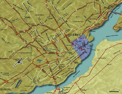
Quebec City Tourist Map
less than 1 mile away
Near Quebec City

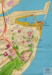
Quebec Canada Tourist Map
Tourist map of Quebec, Canada showing inside town walls, lower town and old port. Tourist sites...
less than 1 mile away
Near Quebec, Canada

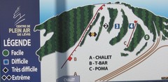
Centre de Plein Air Levis Ski Trail Map
Trail map from Centre de Plein Air Levis.
3 miles away
Near Lévis, Quebec, Canada

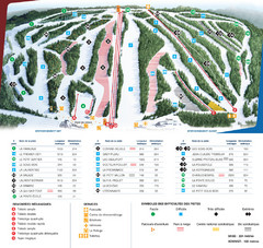
Le Relais Ski Trail Map
Trail map from Le Relais, which provides downhill skiing. This ski area has its own website.
10 miles away
Near Quebec, Canada

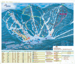
Stoneham Ski Resort Ski Trail Map
Trail map from Stoneham Ski Resort, which provides downhill skiing. This ski area has its own...
17 miles away

 click for
 Fullsize


0 Comments
New comments have been temporarily disabled.