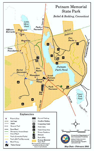
Putnam Memorial State Park map
near bethel, ct
See more
 See more
Nearby Maps

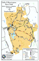
Collis P. Huntington State Park map
Trail map of Collis P. Huntington State Park in Connecticut
1 mile away
Near bethel, ct

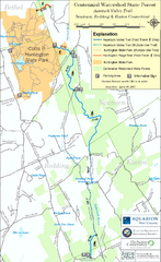
Centennial Watershed State Forest trail map
Trail map of Centennial Watershed State Forest in Connecticut
2 miles away
Near newtown, ct

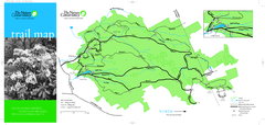
Devil's Den Preserve Map
6 miles away

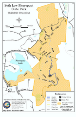
Seth Low Pierrepont State Park Reserve map
Trail map of Seth Low Pierreport State Park in Connecticut.
6 miles away
Near ridgefield, ct

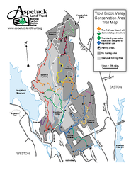
Trout Brook Valley Map
6 miles away

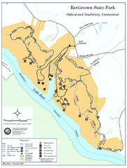
Kettletown State Park trail map
Trail map for Kettletown State Park in Connecticut.
11 miles away
Near oxford, ct

 click for
 Fullsize


1 Comments
no map to print