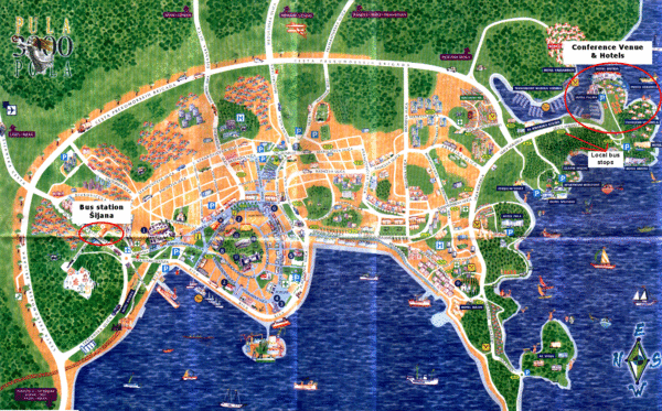
Pula Tourist Map
near Pula, Croatia
See more

 See more
Nearby Maps

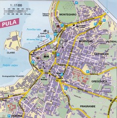
Pula City Map
City map of Pula, Croatia. Shows major streets.
less than 1 mile away
Near Pula, Croatia

Rovinj Tourist Map
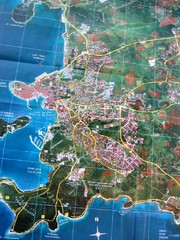
Tourist map of Rovinj, Croatia. Map is based on aerial photo.
17 miles away
Near Rovinj, Croatia

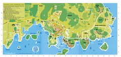
Vrsar Tourist Map
22 miles away
Near Vrsar, Croatia

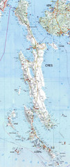
Cres Island Map
Road map of island of Cres, Croatia. Biggest island in Croatia.
27 miles away
Near cres, croatia

Cres & Losinj Island Map
Tourist map of island of Cres and island of Losinj, Croatia.
27 miles away
Near cres, croatia

 click for
 Fullsize


0 Comments
New comments have been temporarily disabled.