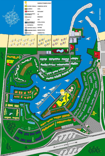
Portorosa Map
near sicily
View Location
Map of the tourist port of Portorosa, Sicily home to the Sunsicily society. Map shows buildings, waterways and beaches.
See more
 See more
Nearby Maps

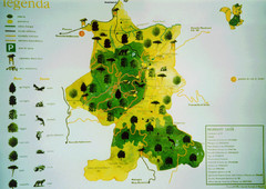
Malabotta Flora and Fauna Map
Flora and fauna map of the Malabotta Forest near Argimusco. Shows roads and parking in Malabotta...
10 miles away
Near Tripi, Sicily

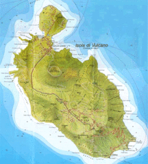
Vulcano map
20 miles away
Near aeolians islands

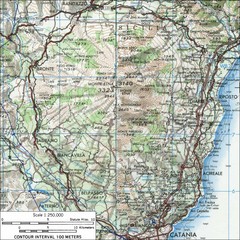
Mt Etna Topo Map
Topo map of Mount Etna in the Parco dell'Etna, Sicily. Highest mountain in Sicily at 10,902...
25 miles away
Near Sicily

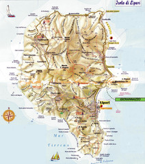
Lipari map
28 miles away

Isola di Salina Map
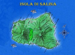
Island map of Isola di Salina, off the north coast of Sicily. Shows volcanoes and towns of Leni...
33 miles away
Near Isola di Salina, Italy

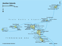
Aeolian islands map
37 miles away
Near aeolians

 click for
 Fullsize


0 Comments
New comments have been temporarily disabled.