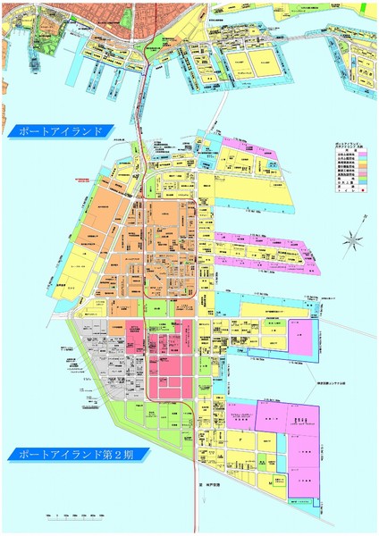
Port Island 2nd Stage Map
near Kobe City
View Location
Map of Port Island in Kobe City shows 2nd Stage that has been constructed on the southern end of Port Island, creating an artificial island of 390 ha
See more
 See more
Nearby Maps

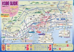
Kobe Tourist Map
Universal Studios Sponsored Tourist Guide to Kobe, Japan
3 miles away
Near Kobe, Japan

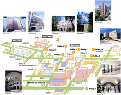
Konan University Campus Map
This is a clear map of this small campus located at the foothills of the Rokko Mountains.
4 miles away
Near kobe

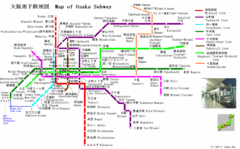
Osaka Subway Map
16 miles away
Near Osaka

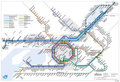
Kansai Regional Subway Map
16 miles away
Near osaka, japan

 click for
 Fullsize


0 Comments
New comments have been temporarily disabled.