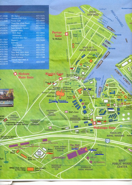
Pearl Harbor, Hawaii Tourist Map
near Pearl Harbor, Hawaii
See more
 See more
Nearby Maps

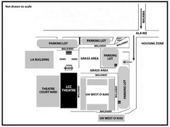
Leeward Community College/ University of Hawaii...
Visitor parking map that describes location of some buildings, parking lots and streets at Leeward...
3 miles away
Near Leeward Community College Hawaii, USA

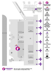
Hawaiian Airlines Honolulu Airport Map
4 miles away
Near Honolulu Airport

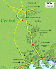
Central Oahu bike map
Bike map for Central Oahu in Hawaii, showing bike trails, convenience stores, gas stations and bike...
5 miles away
Near oahu, hawaii

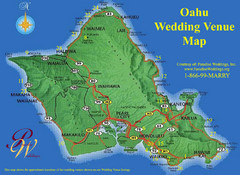
Oahu Wedding Venue Map
6 miles away
Near Oahu, Hawaii

Oahu 3D Map
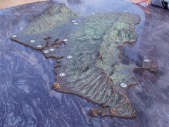
Topographical map of the island of Oahu. Photo taken of model at Pearl Harbor
6 miles away
Near Oahu

 click for
 Fullsize

0 Comments
New comments have been temporarily disabled.