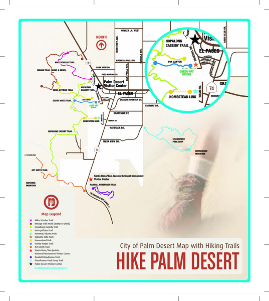
Palm Desert Hiking Trail Map
near Palm Desert, CA 92260
See more
 See more
Nearby Maps

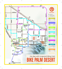
Palm Desert Biking Map
Biking route and trail map of Palm Desert, California
3 miles away
Near Palm Desert, CA 92260

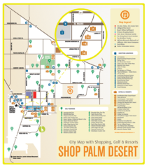
Palm Desert Shopping Map
Visitor map/shopping guide of Palm Desert
3 miles away
Near Palm Desert, CA

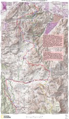
Palm Canyon Epic Trail Map
Upper Trailhead Map. Topo map marked with detail route and notes for ride.
9 miles away
Near Palm Canyon

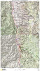
Palm Canyon Epic Map
Palm Canyon Trail - This point-to-point route takes you through a varied array of desert trails...
10 miles away
Near spring crest, california

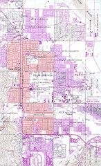
Palm Springs California City Map
12 miles away
Near Palm Springs, CA

 click for
 Fullsize

0 Comments
New comments have been temporarily disabled.