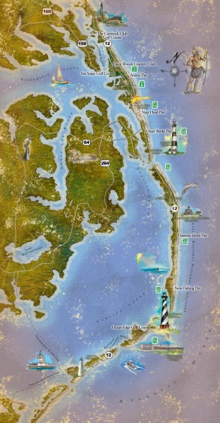
Outer Banks activities map
View Location
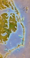
Tourist map of the Outer Banks region of North Carolina. Spans from Ocracoke, NC to Carrituck, NC. Shows lighthouses, golf courses, historical sites and memorials, and parks/refuges. From outerbanks.org: "Surrounded by 900 miles of water, The Outer Banks has the largest estuary system in the world. Make sure to visit the wildlife refuges, maritime forests, the Cape Hatteras National Seashore and the tallest sand dunes on the East Coast at Jockey's Ridge State Park."
See more
 See more
Nearby Maps

Outer Banks Tourist Map
The Outer Banks in North Carolina
19 miles away
Near Outer Banks, North Carolina

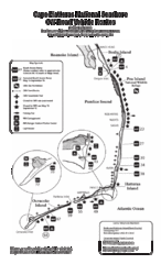
Cape Hatteras Off Road Map
32 miles away
Near Cape Hatteras

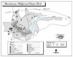
Merchants Millpond State Park map
Detailed recreation map for Merchants Millpond State Park in North Carolina
80 miles away
Near Gatesville, NC 27938

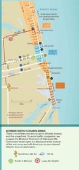
Virginia Beach Tourist Map
82 miles away
Near Virginia Beach

Virginia Beach Tourist Map
82 miles away
Near Virginia Beach

 click for
 Fullsize


0 Comments
New comments have been temporarily disabled.