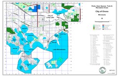
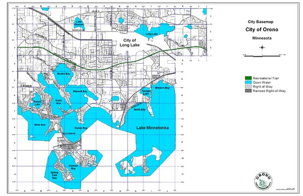
Orono City Map
near Orono, Minnesota
See more
 See more
Nearby Maps

Orono City Park Map
1 mile away
Near Lake Minnetonka

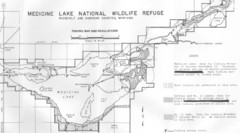
Medicine Lake Map
9 miles away
Near Medicine Lake Map

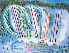
Hyland Ski and Snowboard Area Ski Trail Map
Trail map from Hyland Ski and Snowboard Area, which provides downhill, night, and terrain park...
14 miles away
Near Bloomington, Minnesota, United States

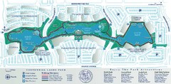
Centennial Lakes Park Map
14 miles away
Near 7499 France Ave. S., Edina, MN 55435

Lyn Lake-Minneapolis Restaurant Map
15 miles away
Near Lyn Lake MInneapolis, MN

 click for
 Fullsize


0 Comments
New comments have been temporarily disabled.