Oregon Walks Map
near Oregon
View Location
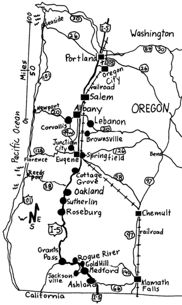
Walks in Portland, Oregon City, Corvallis, Salem, Lebanon, Albany, Eugene, Springfield, Junction City, Coburg, Cottage Grove, Roseburg, Grants Pass, Medford and down I-5 to Jacksonville, Ashland and Klamath Falls. Over 285 miles of maps in 22 Oregon towns. From the guidebook, "Oregon Townscape Walks".
See more
 See more
Nearby Maps

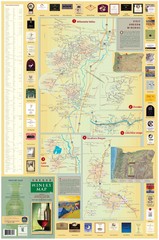
Oregon Winery Map / Local Side
27 miles away

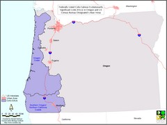
Oregon Coho Salmon Map
Shows federally listed coho salmon evolutionarily significant units in Washington state.
35 miles away
Near Oregon

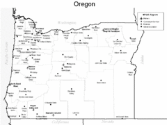
Oregon Airport Map
36 miles away
Near Oregon

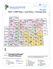
Oregon Hunting Unit/BLM Map Index
This map shows which BLM land ownership maps cover all hunting units in Oregon. Color indicates...
56 miles away
Near Powell Butte, Oregon

 click for
 Fullsize

0 Comments
New comments have been temporarily disabled.