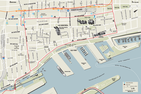
Old Montreal and Old Port Bike Map
near Montreal
See more
 See more
Nearby Maps

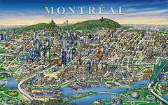
montreal Downtown Map
less than 1 mile away
Near montreal

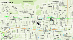
Downtown Montreal Map
Street map of central Montreal. Shows access to the metro and commuter train
less than 1 mile away
Near Montreal

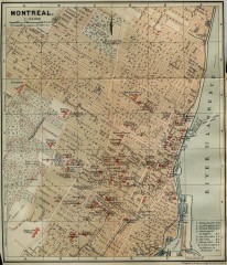
Antique map of Montreal from 1894
"Montreal" from Baedeker, Karl. The Dominion of Canada with Newfoundland and an Excursion...
1 mile away
Near papineau square, montreal, quebec

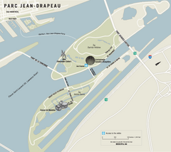
Parc Jean Drapeau Map
Park map of Parc Jean Drapeau in the St. Lawrence River, Montreal
1 mile away
Near Parc Jean Drapeau, Montreal

Six Flags La Ronde Theme Park Map
Official Park Map of Six Flags La Ronde Theme Park in Montreal, Quebec.
1 mile away
Near Montreal, Quebec

 click for
 Fullsize


0 Comments
New comments have been temporarily disabled.