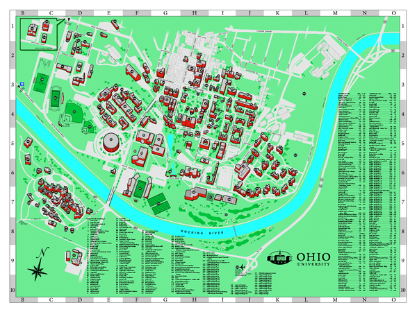
Ohio University Map
near Athens, Ohio
See more

 See more
Nearby Maps

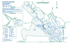
Strouds Run State Park map
Detailed recreation map for Strouds Run State Park in Ohio.
4 miles away
Near Athens, Ohio 45701

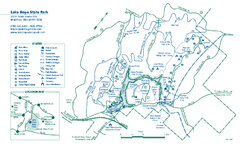
Lake Hope State Park map
Detailed recreation map for Lake Hope State Park in Ohio
14 miles away
Near McArthur, OH 45651

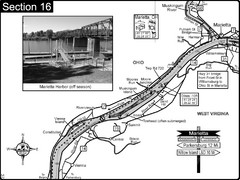
Ohio River at Marietta, OH and 8 miles downriver...
This is a page from the Ohio River Guidebook. The map shows important information for boaters and...
34 miles away

Tar Hollow State Park map
Detailed recreation map for tar Hollow State Park in Ohio
35 miles away
Near 16396 Tar Hollow Road, Laurelville, Ohio 43135

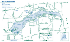
Buckeye Lake State Park map
Detailed recreation map for the Buckeye Lake area in Ohio
46 miles away
Near Millersport, OH 43046

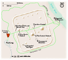
Hopewell Culture National Historical Park...
Official NPS map of Hopewell Culture National Historical Park in Ohio. Map shows all areas. he...
47 miles away
Near 16062 State Route 104 Chillicothe, Ohio 45601

 click for
 Fullsize


0 Comments
New comments have been temporarily disabled.