Ober Gatlinburg Ski Resort Ski Trail Map
near Gatlinburg, Tennessee, United States
See more
 See more
Nearby Maps

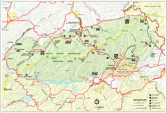
Great Smokey Mountains National Park Trail Map
Hiking trails.
4 miles away
Near Great Smokey Mountains National Park

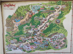
Dollywood Park Map
7 miles away
Near 1198 McCarter Hollow Road, Pigeon Forge

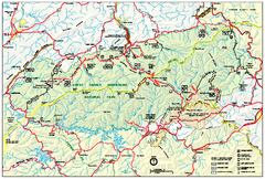
Great Smoky Mountains National Park - Park map
Official park map of Great Smoky Mountains National park. Shows location of all park roads...
8 miles away
Near Great Smoky Mountains National Park

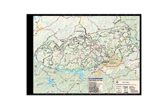
Great Smoky Mountains National Park - Trail map
Official trail map of Great Smoky Mountains National park. Shows all trails, park roads, visitor...
8 miles away
Near Great Smoky Mountains National Park

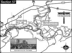
Knoxville, TN Tennessee River/Holston River...
This is the source of the Tennessee River at the confluence of the Holston River and French Broad...
25 miles away
Near Knoxville, tn

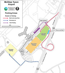
McGhee Tyson Airport Map
26 miles away
Near McGhee Tyson Airport

 click for
 Fullsize

0 Comments
New comments have been temporarily disabled.