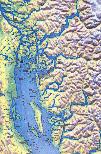
Northern Gulf Map
near Gulf Islands, British Columbia, CA
See more
 See more
Nearby Maps

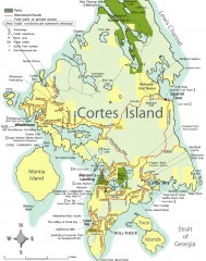
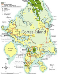
Cortes Island tourist map
Tourist map of Cortes Island in British Columbia, Canada. Shows businesses and roads.
14 miles away
Near cortes, british columbia

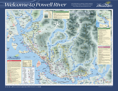
Upper Sunshine Coast Recreation Map
Recreation map of Upper Sunshine Coast in BC. Shows hiking trails, kayaking and canoeing routes...
18 miles away
Near Powell River, BC

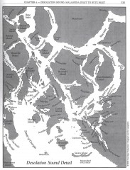
Desolation Sound Detail Map
Shows general geography of Desolation Sound from Malaspina Inlet to Bute Inlet. Shows Cortes Bay...
23 miles away
Near Read Island, Canada

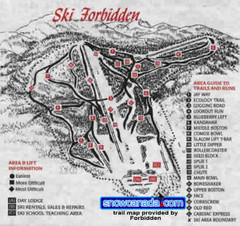
Pre-1999 Forbidden Plateau Map #2
Trail map from Forbidden Plateau.
28 miles away
Near British Columbia, Canada

 click for
 Fullsize


0 Comments
New comments have been temporarily disabled.