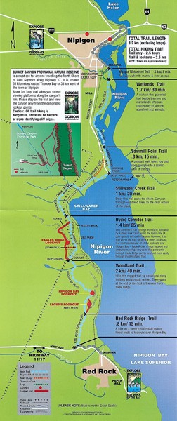
Nipigon River Recreational Trail Map
near Nipigon, Canada
See more

 See more
Nearby Maps

Gull Bay First Nation route map
A simple route map that tells you how to get to Gull Bay First Nation in Northren Ontario. For...
32 miles away

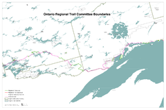
Ontario Regional Trail Committee Boundaries Map
Sources: TCT, DMTI Spatial., MNR Projection: UTM, NAD83. Produced by the TCT in Montreal, October...
41 miles away
Near ontario canada

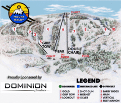
Mount Baldy Ski Trail Map
Trail map from Mount Baldy, which provides downhill skiing. This ski area has its own website.
51 miles away
Near Ontario, Canada

Thunder Bay Transit Map
I made this map after desperately trying to find out how to arrive at my daughters violin class...
57 miles away
Near Thunder Bay

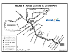
Thunder Bay Transit Map
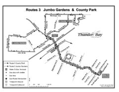
This is the original map of Thunder Bay Bus Route 3. See my proposal for an improved design.
59 miles away
Near Thunder Bay

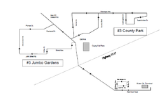
Thunder Bay Transit Map
A proposal to Thunder Bay transit to replace their actual map design for bus routes which are not...
61 miles away
Near Thunder Bay

 click for
 Fullsize


0 Comments
New comments have been temporarily disabled.