Edit this map

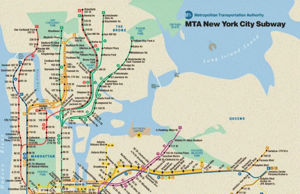
New York City Subway Map

near New York, NY

View LocationView Map

40.738933241136 -74.0066528320312 10 satellite
Nearest Map »  Fullsize
963 × 62488 KBGIF

Official MTA map of the NYC subway system... note not drawn to scale.

Created 4/2007
From Metropolitan Transportation Authority

scott added
May 8, 2007

Rating
rated 1.5 by 2 people

See an error? Report it.

Keywords

transportation, subway, metro

2 Comments

only shows the top half

scott, Jul 15, 2008

This map lacks of the southern section.

Swiss, Jul 31, 2008
New comments have been temporarily disabled.
See more

Nearby Maps

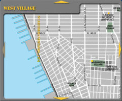
West Village New York City Tourist Map

West Village New York City Tourist Map

less than 1 mile away

Near Washington Square, NYC
Keywords: tourism, attractions
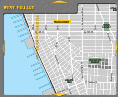
West Village New York City Hotel Map

West Village New York City Hotel Map

less than 1 mile away

Near Union Square, NYC
Keywords: tourism, hotels
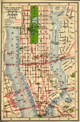
Antique map of Manhattan from 1916

Antique map of Manhattan from 1916

"New York City Battery to 110th Street" from Rider's New York City, Henry Holt and...

less than 1 mile away

rated 4.5 by 2 people
Near new york, new york
Keywords: history, antique
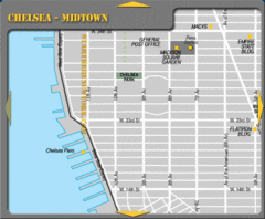
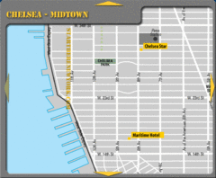
Chelsea Midtown New York City Map

Chelsea Midtown New York City Map

less than 1 mile away

Near Chelsea Park, NYC
Keywords: tourism, attractions
Chelsea Midtown New York City Hotel Map

Chelsea Midtown New York City Hotel Map

less than 1 mile away

Near Chelsea Park, NYC
Keywords: tourism, hotels
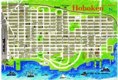
Hoboken Walking Tour map

Hoboken Walking Tour map

Walking tour map of Hoboken, NJ. Shows points of interest.

1 mile away

rated 1 by 1 person
Near hoboken, nj
Keywords: tourism
See more