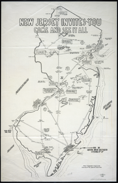
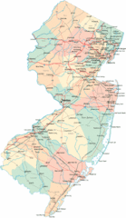
New Jersey Tourist Map
near New Jersey
See more
 See more
Nearby Maps

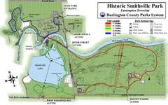
Smithville Park Trail Map
6 miles away
Near Smithville Park, Eastampton, NJ

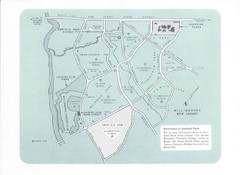
Willingboro Map
9 miles away
Near Willingboro, NJ

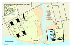
Neshaminy State Park map
Detailed recreation map of Neshaminy State Park in Pennsylvania
10 miles away
Near Bensalem, PA 19020-5930

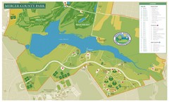
Mercer County Park Map
14 miles away
Near Mercer County Park, Mercer County, NJ, USA

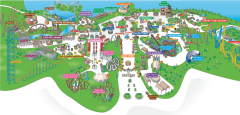
Six Flags Great Adventure Theme Park Map
Official park map of Six Flags Great Adventure, New Jersey.
16 miles away
Near 1 Six Flags Boulevard, Jackson, NJ

 click for
 Fullsize


1 Comments
just saw a post on this on strangemaps... this is a map of PRISONS!