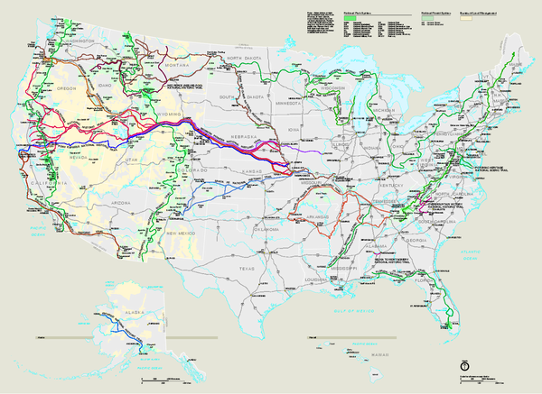
National Trails System Map
near United States
View Location
Map of all US National Scenic Trails and National Historic Trails. Shows all National Park System, National Forest System, and Bureau of Land Management (BLM) lands. Trails include the Pacific Crest Trail, the Appalachian Trail, the Continental Divide Trail, and the Iditarod Trail in Alaska.
Tweet
See an error? Report it.
Keywords
recreation, national trails, national scenic trails, national historic trails, pacific crest trail, appalachian trail, continental divide trail, hiking See more
 See more
Nearby Maps

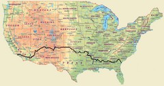
Cross Country Bike Route Map
A Map Of The Route taken by Lucas Hartman on his 6 week, 3,108.1 mile cross-country bike trip.
62 miles away
Near United States

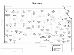
Kansas Airports Map
93 miles away
Near Kansas

Kansas Zip Code Map
Check out this Zip code map and every other state and county zip code map zipcodeguy.com.
93 miles away
Near Kansas

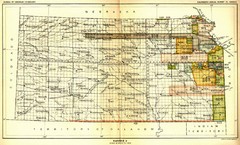
Kansas Native American Territories 1866-1867 Map
489., 492 Cherokee, 19 Jul 1866 (on Indian Territory Map 22, Kansas, Map 27) 495. Sauk and Fox of...
93 miles away
Near Kansas

Kansas Elevations Map
93 miles away
Near Kansas

 click for
 Fullsize


0 Comments
New comments have been temporarily disabled.