Narssaq City Map
near Narssaq, Greenland
See more

 See more
Nearby Maps

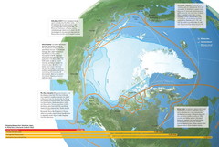
Northwest Passage Map
The ways travel could change if the Northwest Passage were to be re-opened
290 miles away
Near Greenland

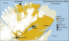
Quttinirpaaq National Park map
Official Parks Canada map of Quttinirpaaq National Park. From Parks Canada website: "Far to...
336 miles away
Near Hazen Camp, Canada

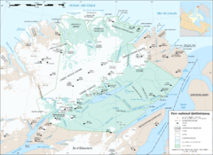
Parc National Quttinirpaaq Map
Map of Quttinirpaaq National Park, Nunavut, Canada. Shows glaciers, rivers, bodies of water, and...
341 miles away
Near Parc National Quttinirpaaq, Nunavut, Canada

Sirmilik National Park Map
Official map of Sirmilik National Park in Nunavut, Canada. Comprises Borden Peninsula, Bylot...
351 miles away
Near Pond Inlet, Canada

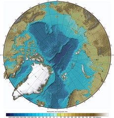
Arctic Ocean Bathymetric Map
Bathymetric map of Arctic Ocean shows all ocean topography and topographical tints for land.
421 miles away
Near Arctic Ocean

 click for
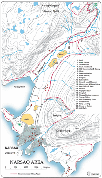
 Fullsize

0 Comments
New comments have been temporarily disabled.