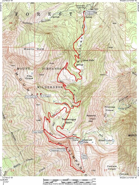
Mount Timpanogos Trail Map
near Mount Timpanogos, Utah
View Location
Trail map of Mount Timpanogos 11,749 feet, in the Mount Timpanogos Wilderness Area, Utah. One of the 57 most prominent peaks in the lower 48 states.
See more
 See more
Nearby Maps

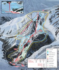
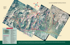
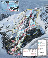
Sundance Ski Trail Map
Official ski trail map of Sundance ski area from the 2007-2008 season.
4 miles away
Near Sundance, Utah 84604

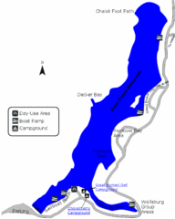
Deer Creek State Park Map
Deer Creek State Park lies in the southwest corner of beautiful Heber Valley and consistently...
8 miles away
Near Deer Creek State Park, UT, USA

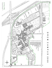
Utah Valley State University Map
Utah Valley State University. All areas shown.
9 miles away
Near Orem, Utah

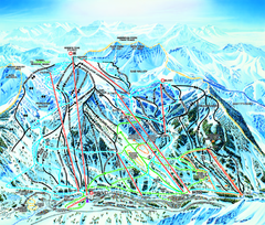
Snowbird Ski Trail map
Official ski trail map of Snowbird ski area from the 2006-2007 season.
10 miles away
Near 84092

Snowbird/Alta area Summer Mountain Biking/Hiking...
Map showing all hiking and mountain biking trails in the Alta/Snowbird area.
10 miles away
Near 84092

 click for
 Fullsize

0 Comments
New comments have been temporarily disabled.