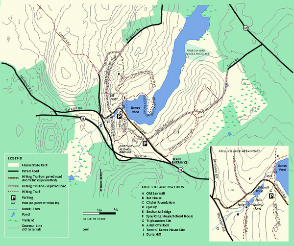
Moore State Park trail map
near paxton, ma
See more
 See more
Nearby Maps

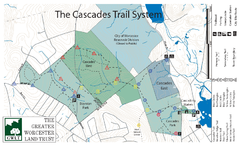
Cascades Park Map
4 miles away
Near worcester ma

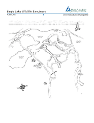
Eagle Lake Conservation Area Map
4 miles away
Near holden ma

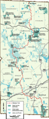
Midstate Trail Map
Map of the Midstate Trail, which runs from Ashburnham to the Rhode Island border. Shows state...
7 miles away
Near North Woods, Massachusetts

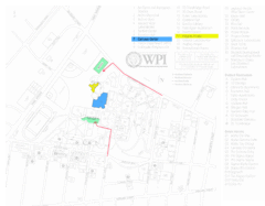
Worcester Polytechnic Institute Campus Map
Map of Worcester Polytechnic Institute. Includes all buildings, parking, streets, and location of...
8 miles away
Near Worcester, MA, USA

Trout Brook Conservation Area Map
8 miles away
Near holden ma

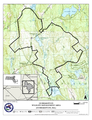
Hubbardston WMA Map
12 miles away
Near hubbardston ma

 click for
 Fullsize


0 Comments
New comments have been temporarily disabled.