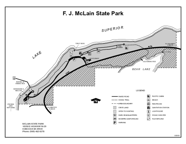
McLain State Park, Michigan Site Map
near McLain State Park, Michigan
See more
 See more
Nearby Maps

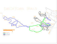
Swedetown Nordic Trail Map
Trail map of nordic ski trails in Swedetown, Michigan
6 miles away
Near Swedetown, Michigan

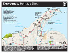
Keweenaw National Historical Park Official Map
Official NPS map of Keweenaw National Historical Park in Michigan. Map shows all areas. Park...
7 miles away
Near 25970 Red Jacket Road Calumet, Michigan 49913

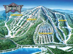
Mount Bohemia Frontside Ski Trail Map
Trail map from Mount Bohemia.
30 miles away
Near Mt Bohemia, Michigan

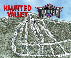
Mount Bohemia Haunted Valley Ski Trail Map
Trail map from Mount Bohemia.
30 miles away
Near Mt Bohemia, Michigan

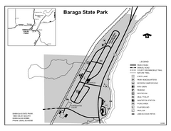
Baraga State Park, Michigan Site Map
33 miles away
Near Baraga State Park

 click for
 Fullsize

0 Comments
New comments have been temporarily disabled.