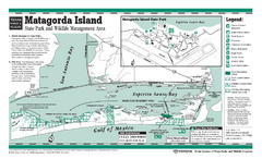
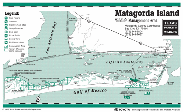
Matagorda Island State Park Map
near Matagorda Island, Texas
See more
 See more
Nearby Maps

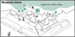
Matagorda Island State Park HQ Map
Shows park headquarters and facilities.
12 miles away
Near Matagorda Island

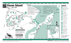
Goose Island, Texas State Park Facility and Trail...
23 miles away
Near Goose Island, Texas

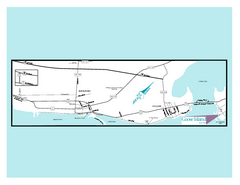
Goose Island, Texas State Park Map
23 miles away
Near Goose Island, Texas

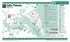
Lake Texana, Texas State Park Facility and Trail...
50 miles away
Near Lake Texana, Texas

Matagorda, Texas State Park Facility and Trail Map
51 miles away
Near Matagorda, Texas

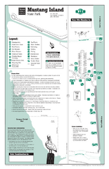
Mustang Island, Texas State Park Facility and...
52 miles away
Near Mustang Island, Texas

 click for
 Fullsize


0 Comments
New comments have been temporarily disabled.