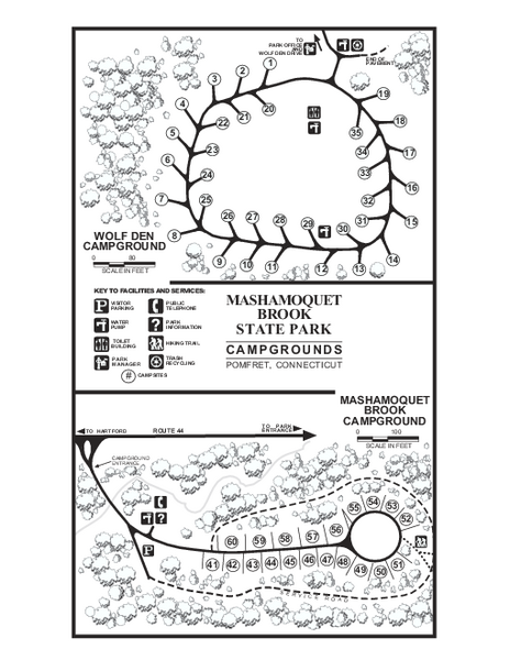
Mashamoquet Brook State Park campground map
near pomfret, ct
See more
 See more
Nearby Maps

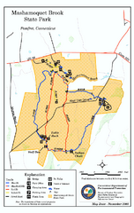
Mashamoquet Brook State Park trail map
Trail map of Mashamoquet Brook State Park in Connecticut.
less than 1 mile away
Near pomfret, ct

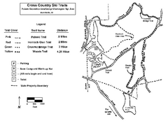
Pulaski State Park Map
11 miles away
Near Pulaski State Park, Rhode Island

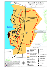
Quaddick State Park Trail Map
11 miles away
Near Quaddick State Park

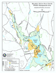
Mansfield Hollow State Park map
Map for Mansfield Hollow State Park and Wildlife Management Area in Connecticut.
12 miles away
Near mansfield, ct

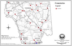
Mansfield Cemetery Map
12 miles away
Near Mansfield, Connecticut

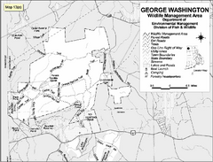
George Washington Wildlife Management Area Map
13 miles away
Near 2200 Putnam Pike, Glocester, RI

 click for
 Fullsize


0 Comments
New comments have been temporarily disabled.