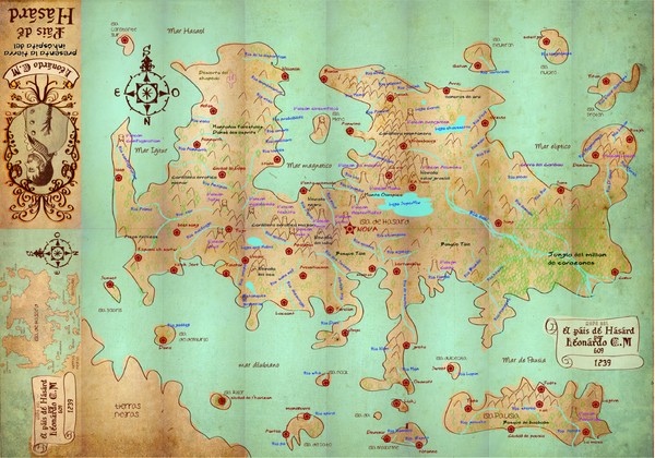
Mapa imaginario del Pais de HASARD Map
View Location
Tweet
See an error? Report it.
Keywords
school, radicalneon, leonardo_castaño, imaginario, hasard, radicalneon, leonardo_castaño, imaginario, hasard See more
 See more
Nearby Maps

Amundsen Scott South Pole Station Aerial Map
Aerial photo map of the US Amundsen Scott South Pole Station at the South Pole, Antarctica
317 miles away
Near South Pole, Antarctica

Antarctica Land and Ice Elevation Map
The colors on the map above represent ICESat’s measurements of Antarctica’s topography...
408 miles away
Near Antartica

Gamburtsev Subglacial Mountains Map
First ever map of the last unexplored mountains on the planet, the Gamburtsev Subglacial Mountains...
662 miles away
Near 80°30′00″S 76°00′00...

Antarctic Region Political Map 1997
Map centered on South Pole shows all country claims in Antarctica. Also shows year-round research...
757 miles away

Mont Vinson Map
Map of Vinson Massif mountain range, the highest range in Antartica, 16,050 ft high. Located about...
780 miles away
Near 78°31′31.74″S 85°37′1...

 click for
 Fullsize


0 Comments
New comments have been temporarily disabled.