Mammoth Town Map
near Mammoth Lakes, California
See more
 See more
Nearby Maps

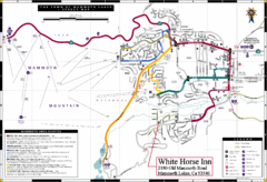
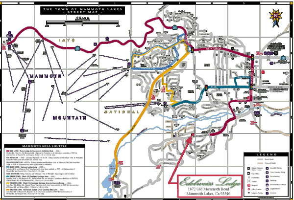
Mammoth Town Map
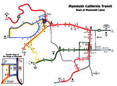
Town of Mammoth Lakes with shuttle lines included
less than 1 mile away
Near Mammoth Lakes, California

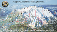
Mammoth Mountain Downhill Skiing Trails Map
Downhill skiing trails on Mammoth Mountain, near Mammoth Lakes, California. Shows trails and their...
less than 1 mile away
Near mammoth mountain, ca

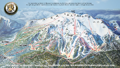
Mammoth Mountain Ski Trail map 2005
Official ski trail map of Mammoth Mountain ski area from the 2005-2006 season.
2 miles away
Near 1 Minaret Road, Mammoth Lakes, CA 93546

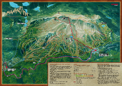
Mammoth Mountain Bike Park Map
Shows all trails at the Mammoth Mountain Bike Park.
2 miles away
Near Mammoth Mountain, CA

 click for
 Fullsize


0 Comments
New comments have been temporarily disabled.