Malaysia Map
near Malaysia
View Location
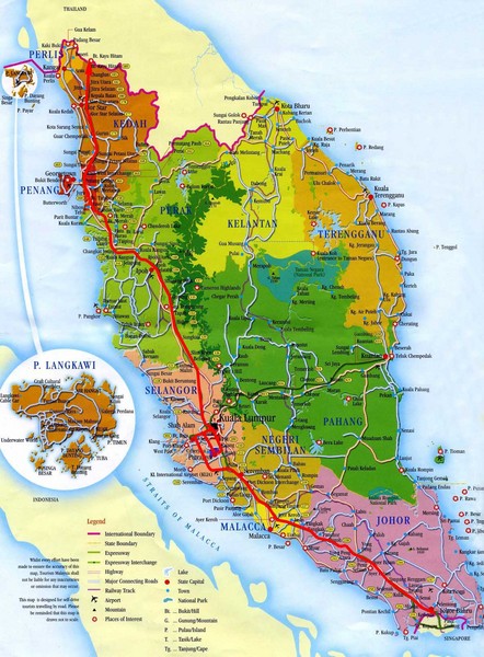
Map of Malaysia. Shows states of Malaysia, expressways, highways, railways, airports, mountains, places of interest, lakes, state capitals, towns, and national parks. Inset map of Pulau Langkawi.
Tweet
See an error? Report it.
Keywords
reference, malaysia, peninsula, states, road, country, expressways, highways, railways, airports, mountains, places of interest, lakes, state capitals, towns, national parks, johore, kedah, kelantan, kuala lumpur, lubuan, malacca, negri sembilan, pahang, penang, perak, perlis, sabah, sarawak, selangor, trengganu See more
 See more
Nearby Maps

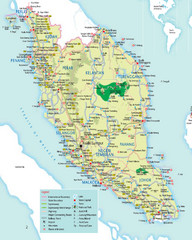
Peninsular Malaysia Tourist Map
Detailed map of Peninsular Malaysia showing main highways,railways, cities and places of interest.
18 miles away
Near Malaysia

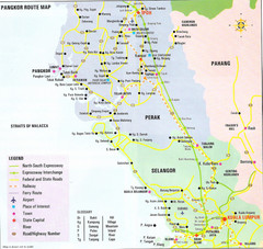
Pangkor Route Map
Map Of Perak, Malaysia showing roads, airports and tourist sites.
24 miles away
Near Perak, Malaysia

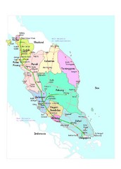
Malaysia Road Map
26 miles away
Near West Malaysia

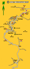
Cameron Highlands Map
40 miles away
Near Cameron Highlands

Pahang Tourist Map
Tourist/road map of state of Pahang, Malaysia. Shows points of interest
63 miles away
Near Pahang, Malaysia

Ipoh City Perak Malaysia Tourist Map
Ipoh City, Perak, Malaysia city tourist map showing streets, tourist sites and hotels.
66 miles away
Near Ipoh City, Perak, Malaysia

 click for
 Fullsize


0 Comments
New comments have been temporarily disabled.