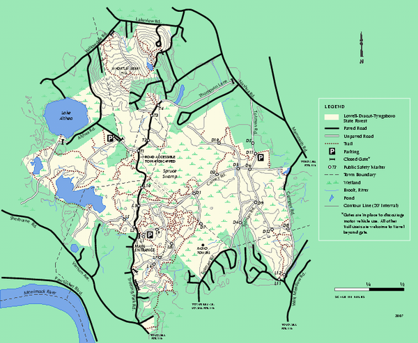
Lowell-Dracut-Tyngsboro State Forest trail map
near lowell, ma
See more
 See more
Nearby Maps

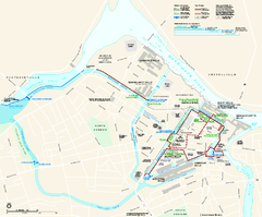
Lowell National Historical Park Official Map
Official NPS map of Lowell National Historical Park in Lowell, Massachusetts. Map shows all of...
5 miles away
Near Lowell, Massachusets

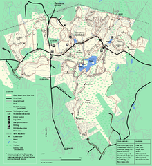
Great Brook Farm State Park trail map
Trail map of Great Brook Farm State Park.
8 miles away
Near carlisle, ma

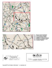
Greater Merrimack Valley, Massachusetts Map
Tourist map of greater Merrimack Valley, Massachusetts. Lodging, forests, and other points of...
9 miles away
Near Lowell, MA

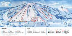
Nashoba Valley Ski Area Ski Trail Map
Trail map from Nashoba Valley Ski Area.
9 miles away
Near Westford, Massachusetts, United States

Canobie Lake Park Map
11 miles away
Near Canobie Lake Park

 click for
 Fullsize


0 Comments
New comments have been temporarily disabled.