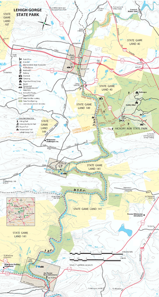
Lehigh Gorge State Park Map
near White Haven, PA 18661-9712
See more
 See more
Nearby Maps

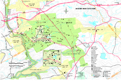
Hickory Run State Park Map
Detailed map of Hickory Run State Park in Pennsylvania.
3 miles away
Near White Haven, PA 18661-9712

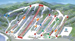
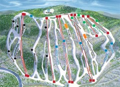
Big Boulder SKi Trail Map
Official ski trail map of Big Boulder ski area from the 2006-2007 season.
7 miles away
Near Blakeslee, PA 18610

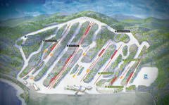
Big Boulder Ski Area Ski Trail Map
Trail map from Big Boulder Ski Area.
7 miles away
Near Lake Harmony, Pennsylvania, United States

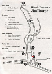
Jim Thorpe Tourist Map
Tourist map of historic Jim Thorpe, Pennsylvania. Scanned from a tourist brochure
9 miles away
Near Jim Thorpe, PA

Jack Frost Ski Trail Map
Official ski trail map of Jack Frost ski area from the 2006-2007 season.
9 miles away
Near Blakeslee, PA 18610

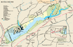
Beltzville State Park map
Detailed recreation map for Beltzville State Park in Pennsylvania
10 miles away
Near Lehighton, PA 18235-8905

 click for
 Fullsize


0 Comments
New comments have been temporarily disabled.