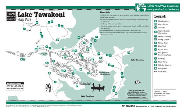
Lake Tawakoni, Texas State Park Facility and Trail Map
near Lake Tawakoni, Texas
See more
 See more
Nearby Maps

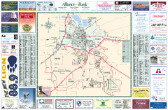
Greenville, Texas Map
Tourist map of Greenville, Texas. Shows attractions, parks, public facilities and other useful...
18 miles away
Near Greenville, TX

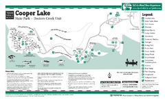
Cooper Lake (Doctors Creek Unit", Texas...
31 miles away
Near Cooper Lake, Texas

Cooper Lake, Texas State Park Map
31 miles away
Near Cooper Lake, Texas

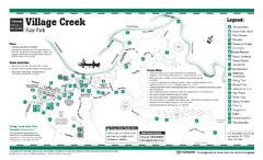
Village Creek, Texas State Park Facility and...
31 miles away
Near Village Creek, Texas

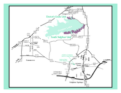
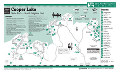
Cooper Lake "South Sulphur Unit", Texas...
34 miles away
Near Cooper Lake, Texas

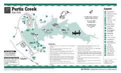
Purtis Creek, Texas State Park Facility and Trail...
37 miles away
Near Purtis Creek, Texas

 click for
 Fullsize

0 Comments
New comments have been temporarily disabled.