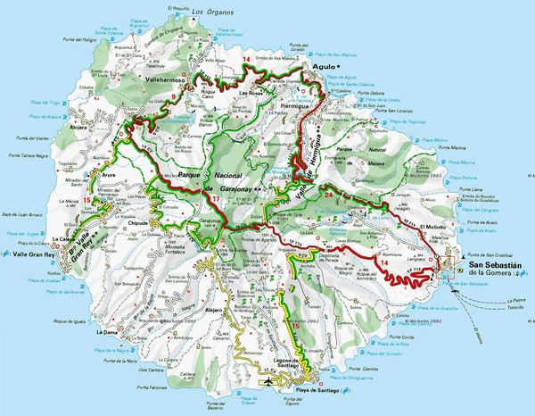
La Gomera Island Map
near La Gomera
View Location
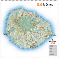
Tourist map of La Gomera showing beaches, roads, towns, elevations, ports and airports.
See more
 See more
Nearby Maps

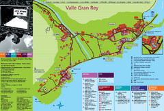
Valle Gran Rey Gomera Tourist Map
Tourist map of Valle Gran Rey, Gomera showing shopping, bars and restaurants, services and...
7 miles away
Near valle gran rey, gomera

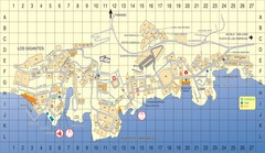
Los Gigantes Tourist Map
Tourist map of Los Gigantes, Tenerife. Shows properties for rent and points of interest.
25 miles away
Near Los Gigantes, Spain

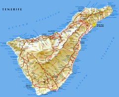
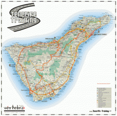
Tenerife Map
Map of Tenerife Island in the Canary Islands showing roads, towns and mountains.
38 miles away
Near Tenerife Island

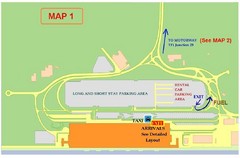
Tenerife Airport Map
39 miles away
Near Tenerife Airport

Tenerife Road Map
Detailed road map of Tenerife. Shows parks, peaks, and beaches
44 miles away
Near Tenerife

 click for
 Fullsize


0 Comments
New comments have been temporarily disabled.