Jordanelle State Park Map
near Jordanelle State Park, UT, USA
View Location
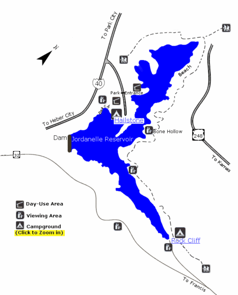
Jordanelle State Park is located in a picturesque mountain setting near Heber City. The park offers an array of recreation opportunities near the Wasatch Front. Camping, boating, swimming, fishing, and hiking are some of the activities to do at this very popular park. The park offers two recreation areas, Hailstone and Rock Cliff.
Nearby Maps
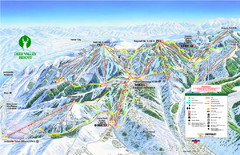
Deer Valley Ski Trail Map
Official ski trail map of Deer Valley ski area from the 2007-2008 season.
4 miles away
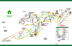
Deer Valley Resort Ski Trail Map
Trail map from Deer Valley Resort.
4 miles away
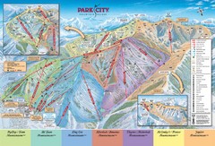
Park City Ski Trail Map
Official ski trail map of Park City ski area for the 2007-08 season.
5 miles away
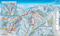
Park City Mountain Resort Ski Trail Map 2006-07
Official ski trail map of Park City for the 2006-2007 season. Site of the 2002 Winter Olympics.
5 miles away
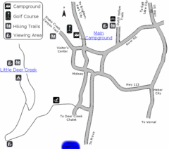
Wasatch Mountain State Park Map
Year-round adventure awaits - golf, hike, bike, camp, horseback ride, snowmobile, cross-country ski...
5 miles away

 click for
 Fullsize

0 Comments
New comments have been temporarily disabled.