Edit this map

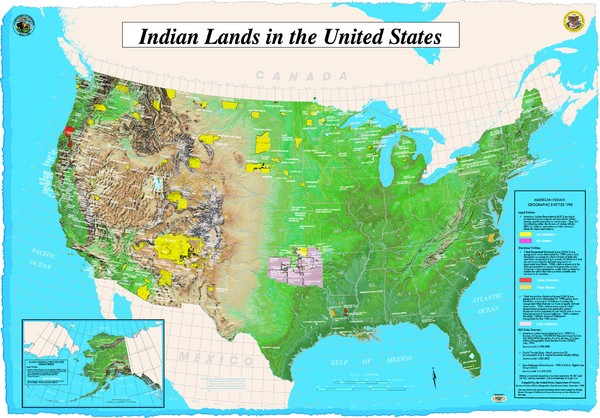
Indian Lands Map

near USA

View LocationView Map

40.245991504199 -100.458984375 4 satellite
Nearest Map »  Fullsize
4331 × 30192.2 MBJPG

Map of Indian Lands throughout the US

Created 1998 by The Bureau of Indian Affairs Geographic Data Service Center
From epa.gov

james pearson added
Feb 10, 2009

Rating
rated 5 by 1 person

See an error? Report it.

Keywords

statistics, demographic, indian, geographic, native american, community, reservation

0 Comments

New comments have been temporarily disabled.
See more

Nearby Maps

National Trails System Map

National Trails System Map

Map of all US National Scenic Trails and National Historic Trails. Shows all National Park System...

72 miles away

rated 5 by 1 person
Near United States
Vegetation types and elevation zones associated...

Vegetation types and elevation zones associated...

Historic Lynx Distribution Map for Lynx population from 1842 - 1998 shown on a United States map...

80 miles away
rated 1 by 1 person
Old Nebraska Map

Old Nebraska Map

Good quality historical map.

91 miles away

Near nebraska
Keywords: history, old, city, state
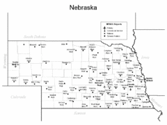
Nebraska Airports Map

Nebraska Airports Map

91 miles away

Near Nebraska
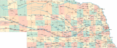
Nebraska Road Map

Nebraska Road Map

91 miles away

Near Nebraska
Keywords: transportation
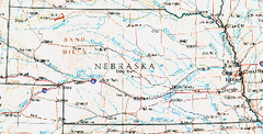
Nebraska Atlas Reference Map

Nebraska Atlas Reference Map

91 miles away

Near Nebraska
Keywords: recreation
See more