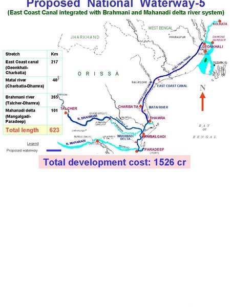
India Proposed National Waterway -5 Map
near Dhamra, India
View Location
India inland waterways map showing the integration of the East Coast Canal with Brahmani and Mahanadi.
See more
 See more
Nearby Maps

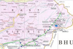
India Silk Road Map
46 miles away
Near Nathang

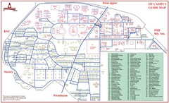
India Institute of Technology Campus Map
IIT Kharagpur Campus Guide Map
97 miles away
Near Kharagpur India

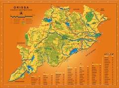
Orissa Map
Map of Orissa shows tourist destinations, wildlife refuges, beaches and waterfronts.
134 miles away
Near orissa, india

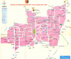
Kolkata Durgapuja Guide Map 2007
Durgapuja Festival Guide in Kolkata (Calcutta)
151 miles away
Near Kolkata (Calcutta), India

Bangladesh Tourist Map
152 miles away
Near Bangladesh

Orissa Tourist Map
154 miles away
Near Orissa

 click for
 Fullsize


0 Comments
New comments have been temporarily disabled.