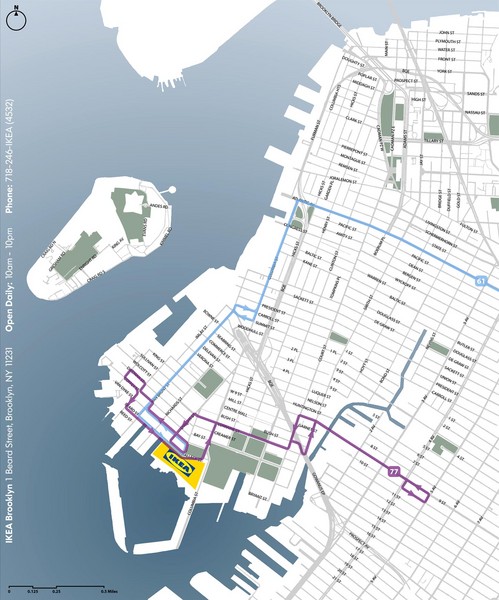
IKEA Brooklyn Map
near 1 Beard Street, Brooklyn, New York
See more

 See more
Nearby Maps

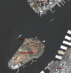
Governor's Island Map
Aerial photo view map of Governor's Island, New York
1 mile away
Near Governor's Island, New York

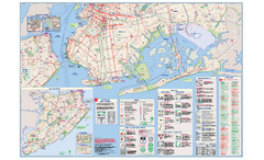
NYC Biking Route Map (Part of Queens, Brookyln...
Official biking route map of part of Queens, Brookyln and Staten Island
1 mile away
Near NYC

Lower Manhattan Area Map
2 miles away

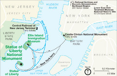
Statue of Liberty National Monument Map
Official NPS map of Statue of Liberty National Monument. Shows Statue of Liberty, Ellis Island, and...
2 miles away
Near New York, New York

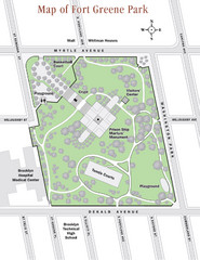
Fort Greene Park Map
Overview map of Fort Greene Park. Shows the park's historic structures and recreational...
2 miles away
Near Fort Greene Park, Brooklyn, NY

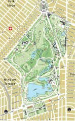
Prospect Park Map
2 miles away
Near Prospect Park, 95 Prospect Park West, Brooklyn, NY

 click for
 Fullsize


1 Comments
One of my favorites!