Edit this map

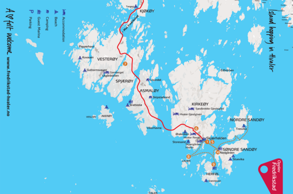
Hvaler Island Hopping Map

near Hvaler, Norway

View LocationView Map

59.0617419971298 10.9774017333984 11 satellite
Nearest Map »  Fullsize
1703 × 1130756 KBPNG

Tourist map of island hopping in Hvaler, Norway. Shows accommodations, beaches, camping, guest marinas, and parking.

Created 2/3/2009
From visitnorway.com

Mapophile added
Oct 28, 2009

Rating
rated 4 by 1 person

See an error? Report it.

Keywords

tourism, island, lodging, beach, camping, parking

0 Comments

New comments have been temporarily disabled.
.
See more

Nearby Maps

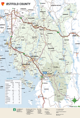
Ostfold County Map

Ostfold County Map

Road map of Ostfold County, Norway.

19 miles away

rated 4 by 1 person
Near Fredrikstad, Norway
Keywords: reference, road, county
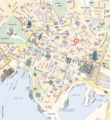
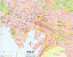
Oslo Tourist Map

Oslo Tourist Map

Guide to central Oslo

59 miles away

rated 3 by 1 person
Near Oslo, Norway
Oslo Tourist Map

Oslo Tourist Map

Tourist map of central Oslo, Norway, capital and largest city in Norway. Shows streets, city parks...

59 miles away

rated 4 by 1 person
Near Oslo, Norway
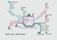
Oslo Metro Map

Oslo Metro Map

A map of the Metro lines in Oslo

59 miles away

rated 3 by 1 person
Near Oslo, Norway
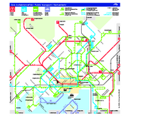
Oslo Public Transport Map

Oslo Public Transport Map

Shows metro, tramway, main bus service, and ferries.

60 miles away

Near Oslo, Norway
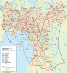
Oslo Neighborhood Map

Oslo Neighborhood Map

Shows neighborhoods in city of Oslo, Norway

60 miles away

rated 3 by 1 person
Near Oslo, Norway
See more