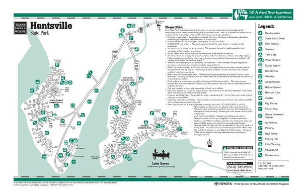
Huntsville, Texas State Park Facility Map
near Huntsville, Texas state park
See more
 See more
Nearby Maps

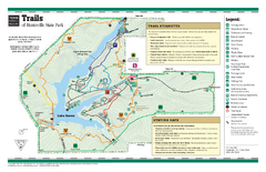
Huntsville, Texas State Park Trail Map
2 miles away
Near Huntsville, Texas state park

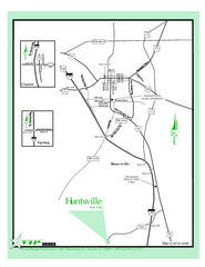
Huntsville, Texas State Park Location Map
5 miles away
Near Huntsville, Texas state park

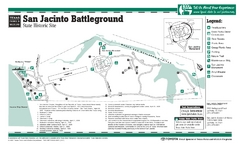
San Jacinto Battleground, Texas State Park...
10 miles away
Near San Jacinto, Texas

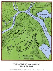
The Battle of San Jacinto, Texas Historical Map
10 miles away
Near San Jacinto, Texas

Sam Houston National Forest Map
US Forest Service map of Sam Houston National Forest. Shows locations of campgrounds, facilities...
11 miles away
Near New Waverly, Texas

Washington-on-the-Brazos, Texas State Park...
39 miles away
Near Washington-on-the-Brazos, Texas

 click for
 Fullsize

0 Comments
New comments have been temporarily disabled.