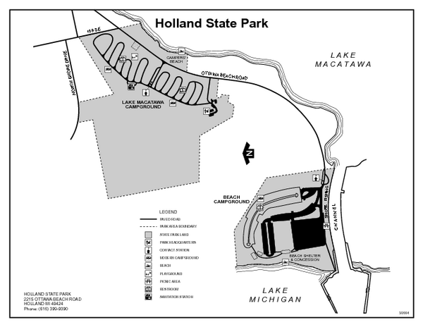
Holland State Park, Michigan Site Map
near Holland State Park, Michigan
See more
 See more
Nearby Maps

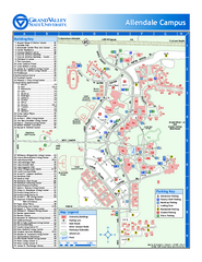
Grand Valley State University Map
Grand Valley State University Campus Map. All areas shown.
15 miles away
Near Allendale, Michigan

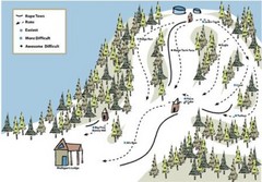
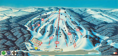
Mulligan’s Hollow Ski Bowl Ski Trail Map
Trail map from Mulligan’s Hollow Ski Bowl.
20 miles away
Near Grand Haven, Michigan, United States

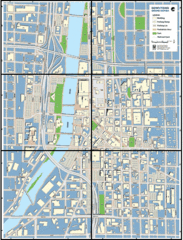
Grand Rapids, Michigan City Map
25 miles away
Near Grand Rapids, Michigan

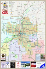
Grand Rapids Bike Map
Map shows bicycle routes in Grand Rapids, Michigan
26 miles away
Near Grand Rapids, Michigan

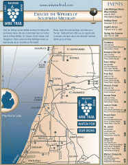
Lake Michigan Shore Wine Trail Map
Lake Michigan Shore Wine Trail map. Shows vineyards and wineries in the area.
26 miles away
Near saugatuck, michigan

Bittersweet Ski Area Ski Trail Map
Trail map from Bittersweet Ski Area.
28 miles away
Near 600 River Rd, Otsego, MI

 click for
 Fullsize

0 Comments
New comments have been temporarily disabled.