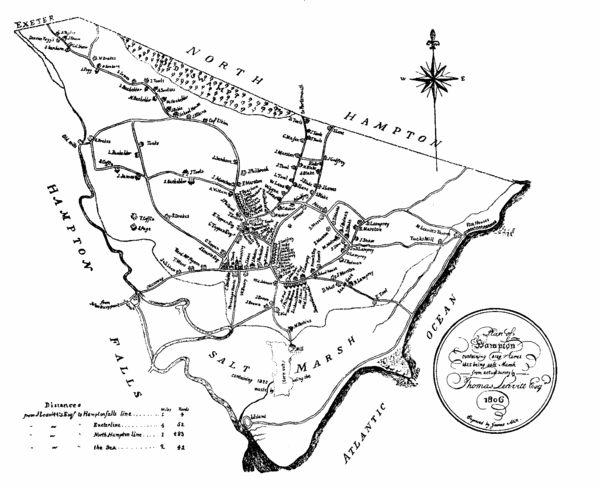
Hampton NH Map 1806
near Hampton, NH
See more
 See more
Nearby Maps

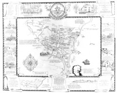
Hampton, New Hampshire Historical Map
Historical map of Hampton, New Hampshire. Illustrated map includes roads and historical buildings.
2 miles away
Near Hampton, New Hampshire, USA

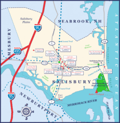
Salisbury Town Map
7 miles away
Near Salisbury, MA

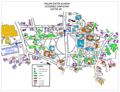
Phillips Exeter Academy Campus Map
Phillips Exeter Academy Campus Map
8 miles away
Near 20 main st, exeter, NH

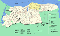
Maudslay State Park trail map
Trail Map of Maudslay State Park in Massachusetts.
9 miles away
Near newburyport, ma

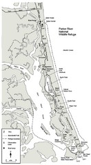
Parker River Map
Map of Parker River National Wildlife Refuge for birdlife
9 miles away
Near Parker River, MA

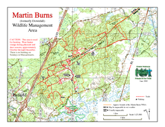
Downfall/Martin Burns WMA Map
11 miles away
Near newburyport ma

 click for
 Fullsize


0 Comments
New comments have been temporarily disabled.