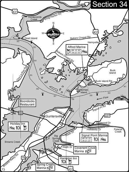
Guntersville, AL Tennessee River/Lake Guntersville Map
near Guntersville, al
View Location
For boating navigational information and river road travel along the Tennessee River. This section is also Lake Guntersville that is formed by a dam on the Tennessee River
Tweet
See an error? Report it.
Keywords
recreation, boating, rivers, tennessee river, canoeing, navigation, river maps, charts, marinas, islands See more
 See more
Nearby Maps

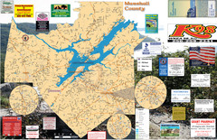
Guntersville Lake Map
12 miles away
Near Largest lake in Alabama

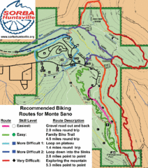
Monte Sano State Park Bike Routes Map
Recommended Biking Routes for Monte Santo with Easy to difficult routes marked.
29 miles away
Near huntsville, alabama

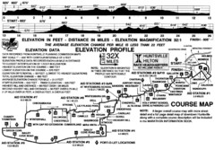
Rocket City Marathon Elevation Map
Course Map and Elevation Profile of the Rocket City Marathon in Huntsville, AL
32 miles away
Near chickamuga, Huntsville, AL

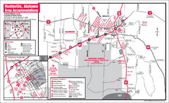
Huntsville Alabama Tourist Map
Map of Huntsville, Alabama showing hotels and streets for the downtown area.
32 miles away
Near Huntsville, Alabama

 click for
 Fullsize

0 Comments
New comments have been temporarily disabled.