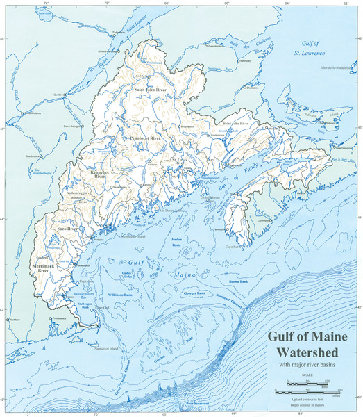
Gulf of Maine Watershed Map
near Maine
View Location
Gulf of Maine watershed map without political boundaries showing major river basins. Shows entire northeast coastal region from Massachusetts to Nova Scotia, Canada. Created by the Maine State Planning Office, for the Gulf of Maine Council on the Marine Environment.
Nearby Maps
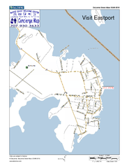
Eastport, Maine, USA Map
Maine Coast Welcome Center's local Map of Eastport, Me with recommended business locations.
8 miles away
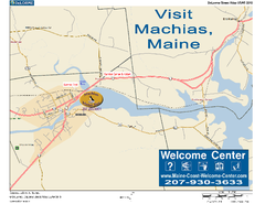
Machias, Maine, USA Map
Maine Coast Welcome Center's local Map of Machias, Me with recommended business locations.
34 miles away
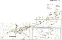
Bog River Map
70 miles away
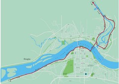
Fredericton Marathon Course Map 2007
Course map of the Fredericton, New Brunswick marathon May 2007
72 miles away
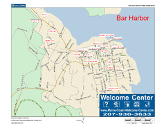
Bar Harbor, Maine, Us Map
Maine Coast Welcome Center's local Map of Bar Harbor, Me with recommended business locations.
77 miles away
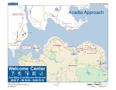
Acadia Approach Map
Maine Coast Welcome Center's local Map of the approach to Acadia, Me with recommended business...
78 miles away

 click for
 Fullsize


0 Comments
New comments have been temporarily disabled.