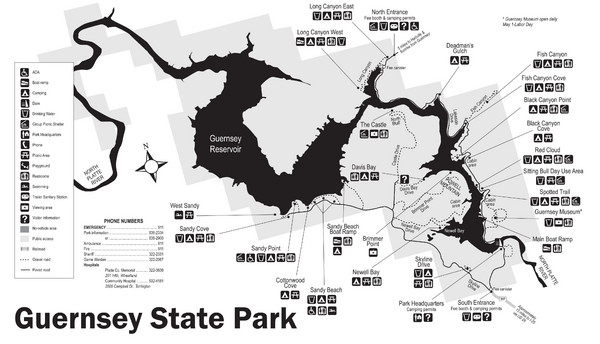
Guernsey State Park Map
near Guernsey State Park, Wyoming
View Location
The park has long been known as a haven for boating, camping, hiking and picnicking, but its real treasure may lie in the wonderful CCC work that can be seen throughout the park. CCC projects in the park include hiking trails, roads, bridges, buildings (including the Castle, Brimmer Point and the Museum) and even a nine-hole golf course (which was abandoned in the early 1940s).
Nearby Maps
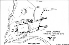
Fort Laramie Guide Map
A layout of the National Historic site Fort Laramie in Wyoming.
14 miles away
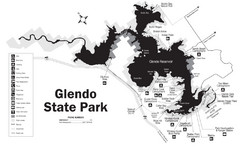
Glendo State Park Map
Glendo State Park is best known for its excellent boating opportunities, with plenty of areas for...
17 miles away
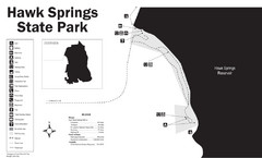
Hawk Springs State Park Map
Hawk Springs Recreation Area has activities for everyone to enjoy: boating, waterskiing, fishing...
38 miles away
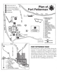
Fort Fetterman State Historic Site Map
Fort Fetterman, located approximately 11 miles northwest of Douglas. The fort was established as a...
51 miles away
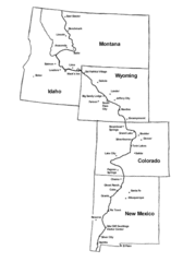
Continental Divide Trail Graphic Map
Guide to the Continental Divide Trail, with major cities and stopping points
69 miles away
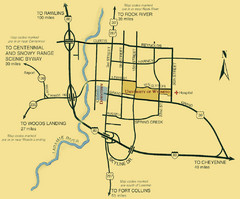
Laramie City Map
City map of Laramie, Wyoming with University of Wyoming highlighted.
79 miles away

 click for
 Fullsize


0 Comments
New comments have been temporarily disabled.