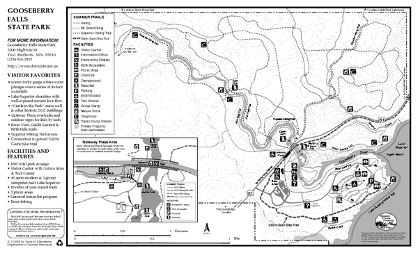
Gooseberry Falls State Park Map
near Gooseberry Falls State Park, Two Harbors, MN
See more
 See more
Nearby Maps

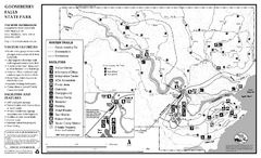
Gooseberry Falls State Park Winter Map
Winter season map of park with detail of trails and recreation zones
less than 1 mile away
Near 3206 Highway 61, Two Harbors, MN

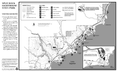
Split Rock Lighthouse State Park Winter Map
Winter seasonal map of park with detail of trails and recreation zones
4 miles away
Near 3755 Split Rock Lighthouse Rd, Two Harbors, MN

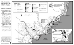
Split Rock Lighthouse State Park Summer Map
Summer seasonal map of park with detail of trails and recreation zones
4 miles away
Near 3755 Split Rock Lighthouse Rd, Two Harbors, MN

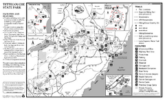
Tettegouche State Park Map
map of park with detail of trails and recreation zones
18 miles away
Near 5702 Highway 61 E, Silver Bay, MN

George Crosby Manitou State Park Map
Map of park with detail of trails and recreation zones
29 miles away
Near 5702 Highway 61 East, Silver Bay, MN

Superior National Park Map
Park Map in Minnesota. Does not include road or highway names
33 miles away
Near Isabella, Minnesota

 click for
 Fullsize

0 Comments
New comments have been temporarily disabled.